Beit Yehoshua railway station
Buses & getting around
Coastal-line station just south of Netanya, named by the municipality as the third station serving the city alongside Netanya and Netanya-Sapir.
Checked 9 October 2026
Buses & getting around
City lines are run by Extra (1א, 10, 10א, 12, 25, 82, 83, 92) and Kavim (23, 24) in the Ministry of Transport timetable (GTFS via Open Bus, 8 Oct 2026); Kavim also runs regional lines, Metropoline intercity lines and Yahalom regional shared taxis. Rav-Kav cards and route info via the national public-transport site, Moovit and other apps.
Details checked against Ministry of Transport GTFS via Open Bus (Hasadna), 8 Oct 2026; City of Netanya on 9 October 2026. Source (opens in a new tab)Hours and details change. Confirm with the place before you go.
Buses & getting around
Coastal-line station just south of Netanya, named by the municipality as the third station serving the city alongside Netanya and Netanya-Sapir.
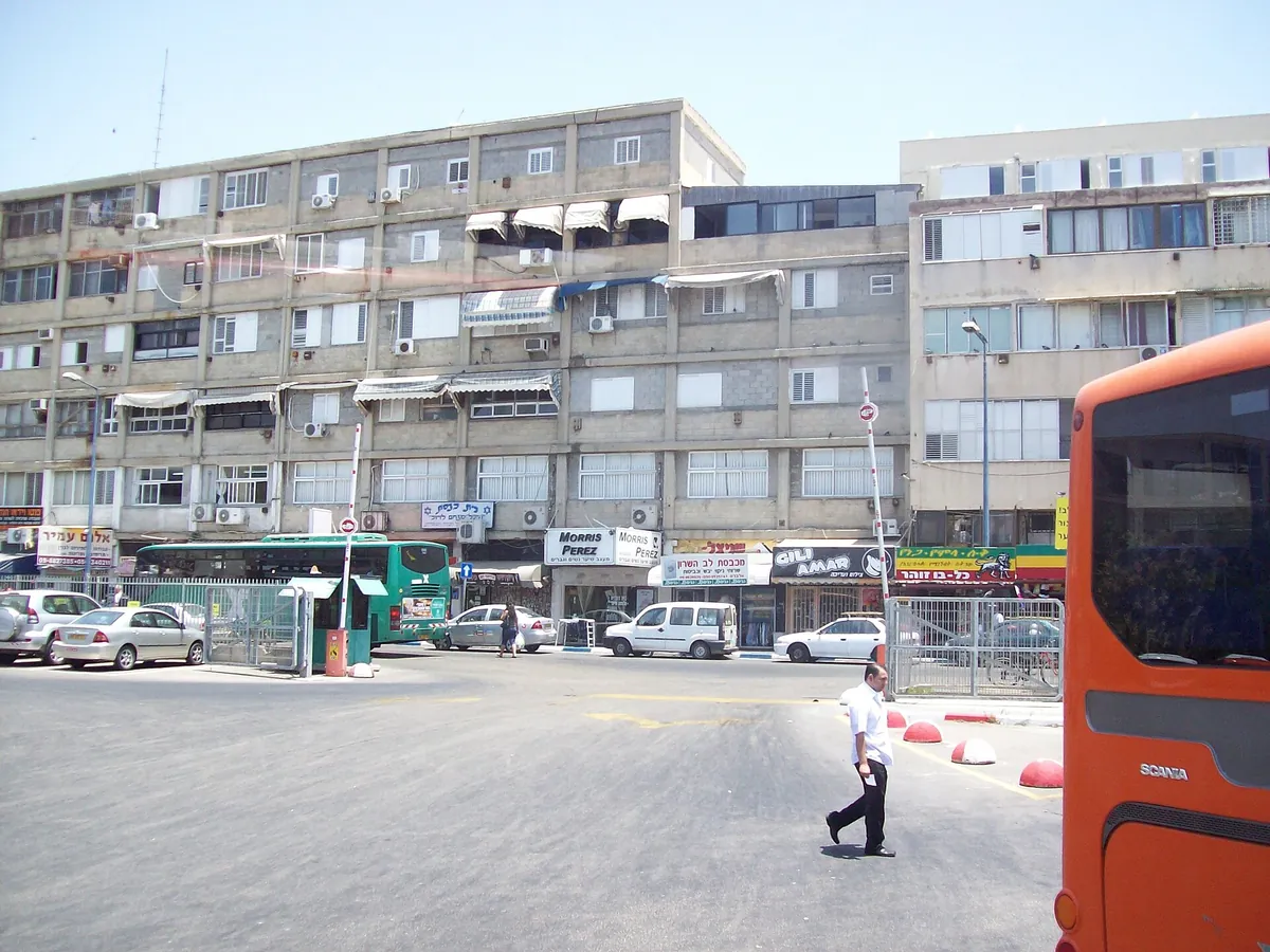
Buses & getting around · City centre (Kikar HaAtzmaut)
The city's central bus station, served by city, regional and intercity lines; it is one of two places in Netanya that issue Rav-Kav cards (entrance from Binyamin Blvd, near McDonald's).
Photo: Rakoon, via Wikimedia Commons (opens in a new tab) · CC0 (opens in a new tab)
Buses & getting around
Coastal-line station 500 m south-east of the Netanya Interchange (Highway 2 / Route 57), served by suburban trains towards Tel Aviv.

Website designed and built with love by Consult With Ari
Websites, SEO, social media, ads and IT support for small businesses. Based in Jerusalem and New York City, working with clients all over the world.