Netanya

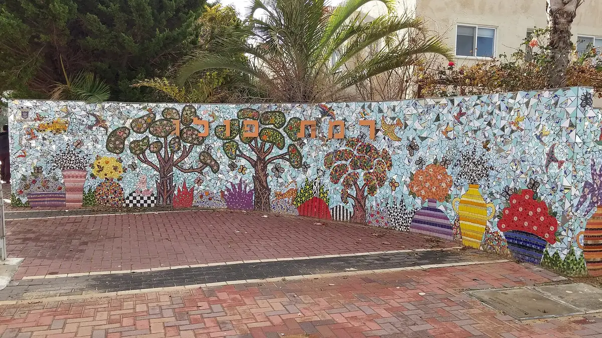
Ramat Poleg

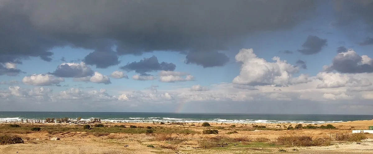
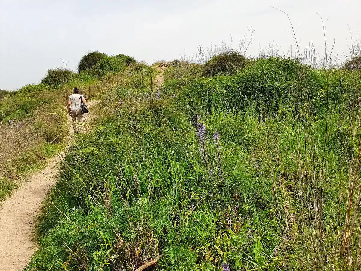
The southernmost neighbourhood: low-rise houses plus 1990s blocks, streets running to the sea, Anglo shuls (Young Israel, SNAC) and the Poleg reserve.

62 places

Map tiles come from OpenStreetMap, so they load only after you allow it.

At a glance

Housing prices (1 lowest, 5 highest)4/5
English-speaking community4/5
Families and kids5/5
Quiet streets4/5
Buses and trains3/5
3 bus lines (138, 602, 623) at 6 stops in Ramat Poleg, about 48 weekday trips
Newer buildings3/5
Walk to shul4/5
Parks and green space4/5

Bus lines and stops within 500 m of the centre, and train stations within 1 km, are from the Ministry of Transport timetable (2026-10-08). The scores are my rough reading of public community pages and guides, not official data. Tell me if a place looks wrong.

Next buses near Ramat Poleg

Live arrival times from the Ministry of Transport where they're available, otherwise the official timetable, for the stops closest to the centre.

Staying in Ramat Poleg

Short-term rentals searched by the neighbourhood name, plus hotels and guesthouses on the stay page.

Health fund branches (1)

All Health fund branches

Pharmacies (2)

All Pharmacies

Kosher restaurants & cafés (40)

All Kosher restaurants & cafés

Groceries & bakeries (7)

All Groceries & bakeries

Beaches (1)

All Beaches

Shuls (4)

All Shuls

Real estate (1)

All Real estate

Shops (2)

All Shops

Parks & playgrounds (1)

All Parks & playgrounds

For kids (1)

All For kids

Sport & pools (2)

All Sport & pools